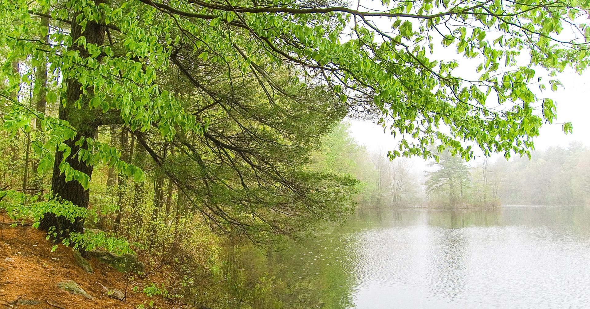
Many trails criss-cross the Middlesex Fells Reservation and offer a wide variety of scenery, distance, and difficulty. Use an official map and find your next trail with the descriptions below.
Please stay on the following authorized trails. Walking on user-created trails, bushwacking, etc. fragments habitat, causes erosion, and leads to wildlife disturbance.
Trails West of I-93
Skyline Trail
White blazes – 6.9 miles – Average hiking time: 5 hours
The Skyline Trail follows the outer perimeter of the western Fells. There are spectacular views of Boston and the surrounding area. Most of the Skyline Trail is in wooded landscape, with several steep ascents to rocky outcrops. A difficult hike.
Reservoir Trail
Orange blazes – 5.2 miles – Average hiking time: 3.5 hours
The Reservoir Trail encircles the north, middle and south reservoirs, and open water can be seen from many sites (the reservoirs are for drinking water, so access to them is prohibited). A moderate to difficult hike.
Long Pond Nature Trail
Pink blazes – 0.9 miles – Average hiking time: 1 hour
The Nature Trail was developed by Winchester Trails. This organization has a nature pamphlet and a teacher’s manual describing plants, animals, insects, and geology at eight trail stations. An easy trail.
Bear Hill Trail
Blue blazes – 0.2 miles – From the intersection with the Skyline: 15 minutes (via the Skyline Trail north from Sheepfold parking lot: 1 hour)
Accessed from the Skyline Trail, this trail ascends through the woods to the base of Bear Hill Tower, which is currently closed. An easy hike.
Cross Fells Trail
Blue blazes – 4.5 miles – Average hiking time: 5 hours one way
Beginning in the western Fells near the Medford High School, the Cross Fells Trail provides a good sampling of the features of the Reservation, from wetlands at Whitmore Brook to open water at Quarter Mile Pond in the eastern Fells, to views at Cairn Hill. Use caution crossing South Border Road, Route 28, Woodland Road, and the Fellsway. A difficult hike.
Trails East of I-93:
Crystal Spring Trail
Red blazes – 1.4 miles – Average hiking time: 1.5 hours
Skirting the edge of a wetland, this trail ascends Whip and Wamoset Hills and passes close to Crystal Spring. The trail connects to Virginia Wood Trail on the south side of Pond Street (use caution crossing). A moderate hike.
Virginia Wood Trail
Pink blazes – 0.8 miles – Average hiking time: 1 hour
This trail traverses Virginia Wood, the world’s first public land trust. The Wood also contains the site of the old mill town of Haywardville (see next trail description). Virginia Wood Trail connects to the Rock Circuit Trail. An easy to moderate hike.
Spot Pond Brook Archaeological District Self-Guided Trail
Yellow blazes – 0.8 miles – Average hiking time: 1 hour
The trail is marked one way beginning at the Botume House Visitor Center at 4 Woodland Road. Visitors can walk the trail while referencing the self-guided trail brochure, describing 150 years of water-powered industry. An easy trail.
Rock Circuit Trail
White blazes – 3.7 miles – Average hiking time: 4.5 hours
Much of the trail traverses rocky outcrops in this corner of the park, providing a variety of scenic views. A difficult hike.
Rock Circuit Connector
Orange blazes – 0.6 miles
Allows hikers to cut the Rock Circuit Trail in half. It runs between gate #51 of the Fellsway East and Rock Circuit Trail.
